













Distance: 9 km
Duration: 4h20
Elevation: 750 m
TAG
From 01/07 to 30/09: open every day.
Topo / step by step
1/ Departure: Les Sardoches (Parking) 2/ From the "Les Sardoches (Parking)" sign, take the direction of "Lac Charvin". 3/ Always follow the direction of "Lac du Charvin", you will pass by "La Praz", "L'Aulp de Marlens", "Pied de la Combe", "Col des Porthets" and "Pas du Lac". 4/ Once you arrive at Lac Charvin, return to the starting point by the same route as on the way there.
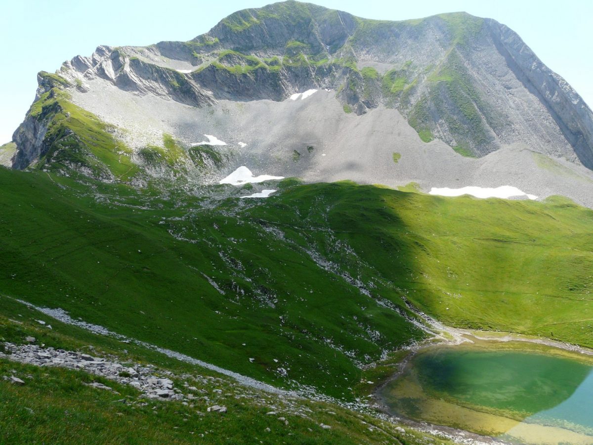
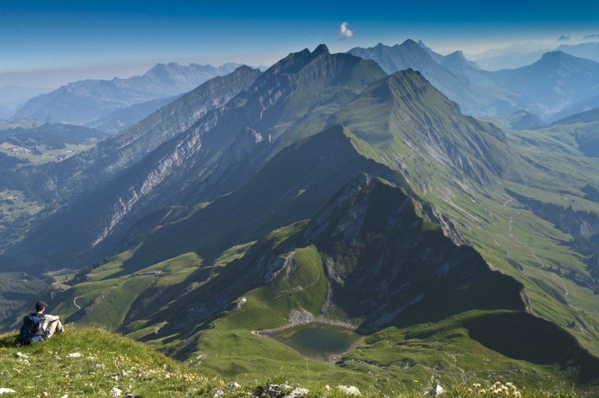
Hiking offering the opportunity to admire all the beauty of a mountain lake. At the foot of Mont Charvin and in the heart of the mountain pastures, the lake is a true natural setting to discover.
Between Savoie and Haute-Savoie, Mont Charvin is the southern end of the Aravis. Its ascent is not the easiest, but this route allows you to admire it more easily, by accessing its lake.
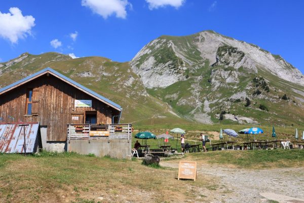
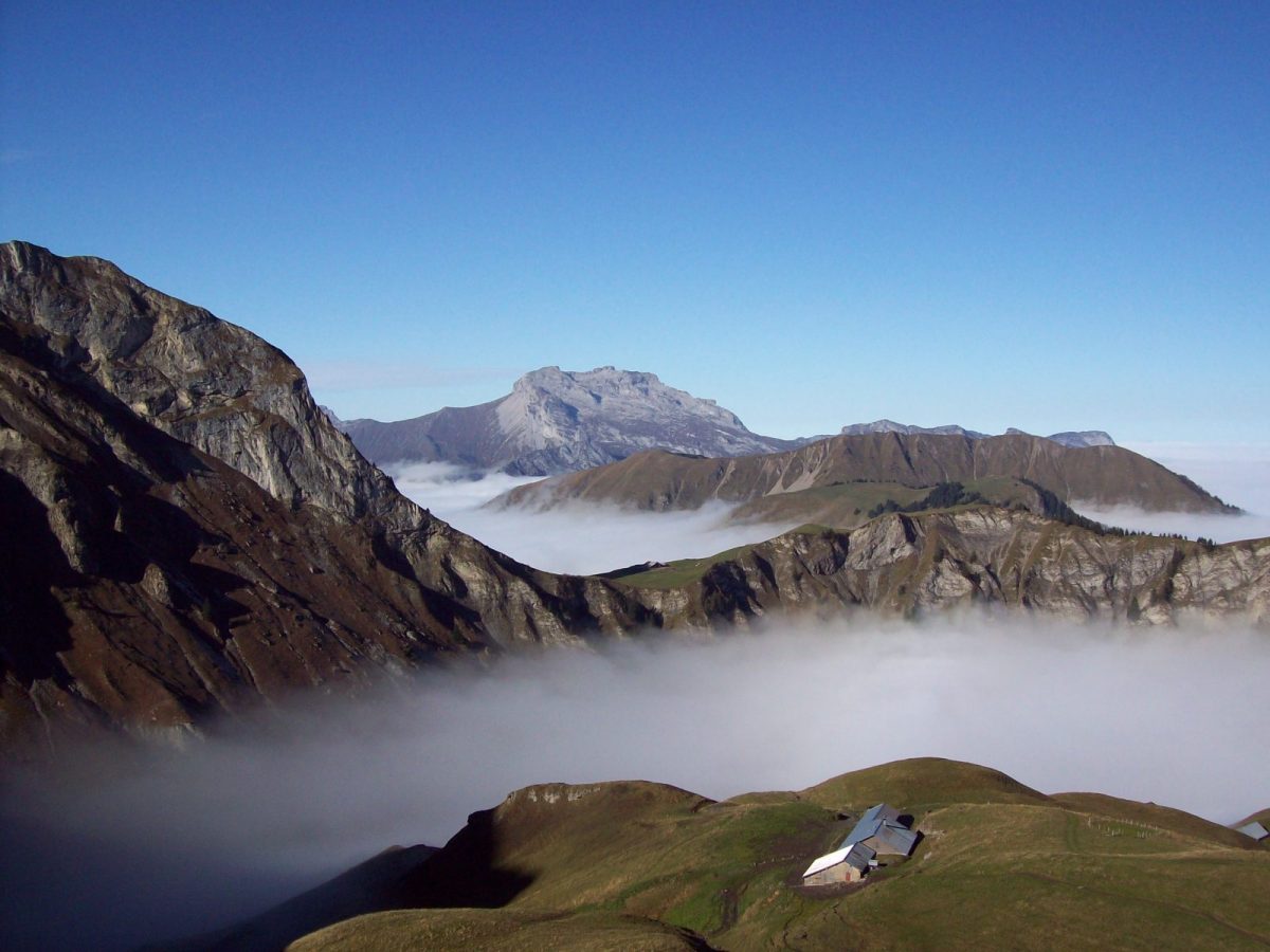
Explore the Charvin mountain pastures, where the emblematic cheese of the Thônes Valley is produced: Reblochon. During your walk, you will pass by the Freu mountain pasture.
Take the time to immerse yourself in the pastoral life of Charvin by chatting with the mountain farmer, during a gourmet break at the farm.
After passing under the imposing rock of Goenne, the lake is revealed. Nestled in the hollow of Mont Charvin, this natural Cirque offers you a magnificent landscape setting.
Directions
In detail
- Distance: 9 km
- Markup: BALISE
- Positive elevation: 750 m
- Vertical drop: 750 m
- Duration: 4h20
- Type of route: GO_RETOUR
- Marking precision: Departmental markup
- Nature of the terrain: Not suitable for strollers
- Type of land: Earth
Equipments & services
Services
- Pet Friendly
Typology
- Outdoor experiences
- Pastoralism