



















Distance: 14.9 km
Duration: 6 hour
Elevation: 1030 m
TAG
From 01 / 07 to 30 / 09.
Topo / step by step
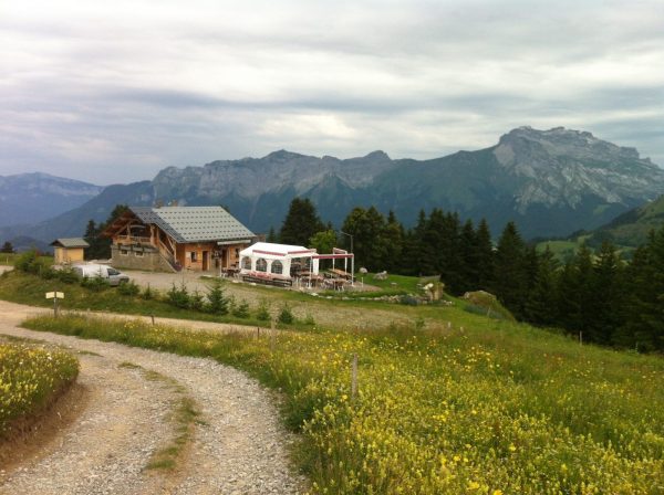
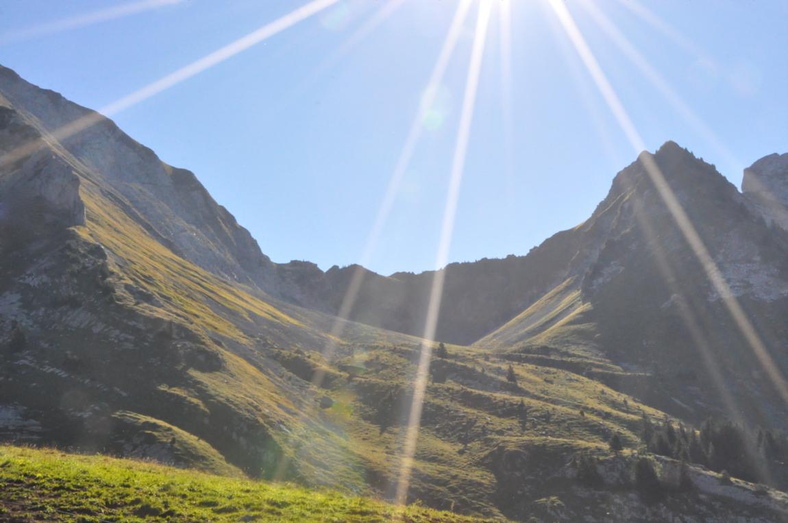
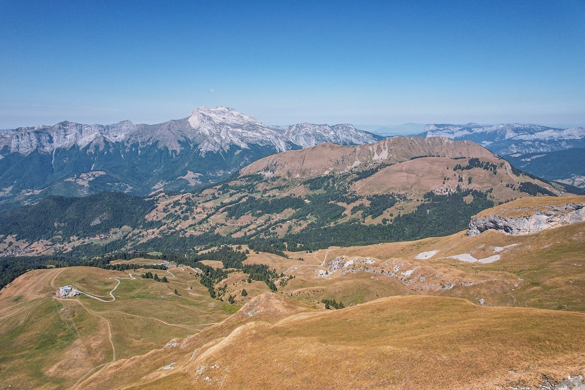
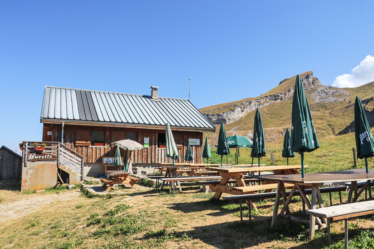
1/ Departure from the Sardoches car park. At the end of the car park, take the path that goes up into the forest. At the end of the woods, turn left to the Praze watering hole, then continue through the mountain pastures to the Aulp de Marlens chalet. 2/ Climb up the valley towards the Porthets pass, then turn right and enter the Charvin valley. 3/ The path continues to climb in switchbacks to the northern shoulder, then follow the ridge to the summit. 4/ The return is via the same route.
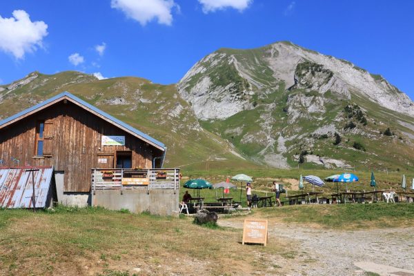
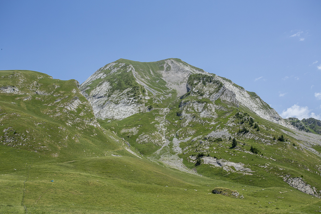
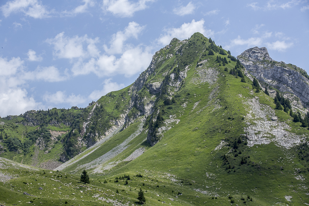
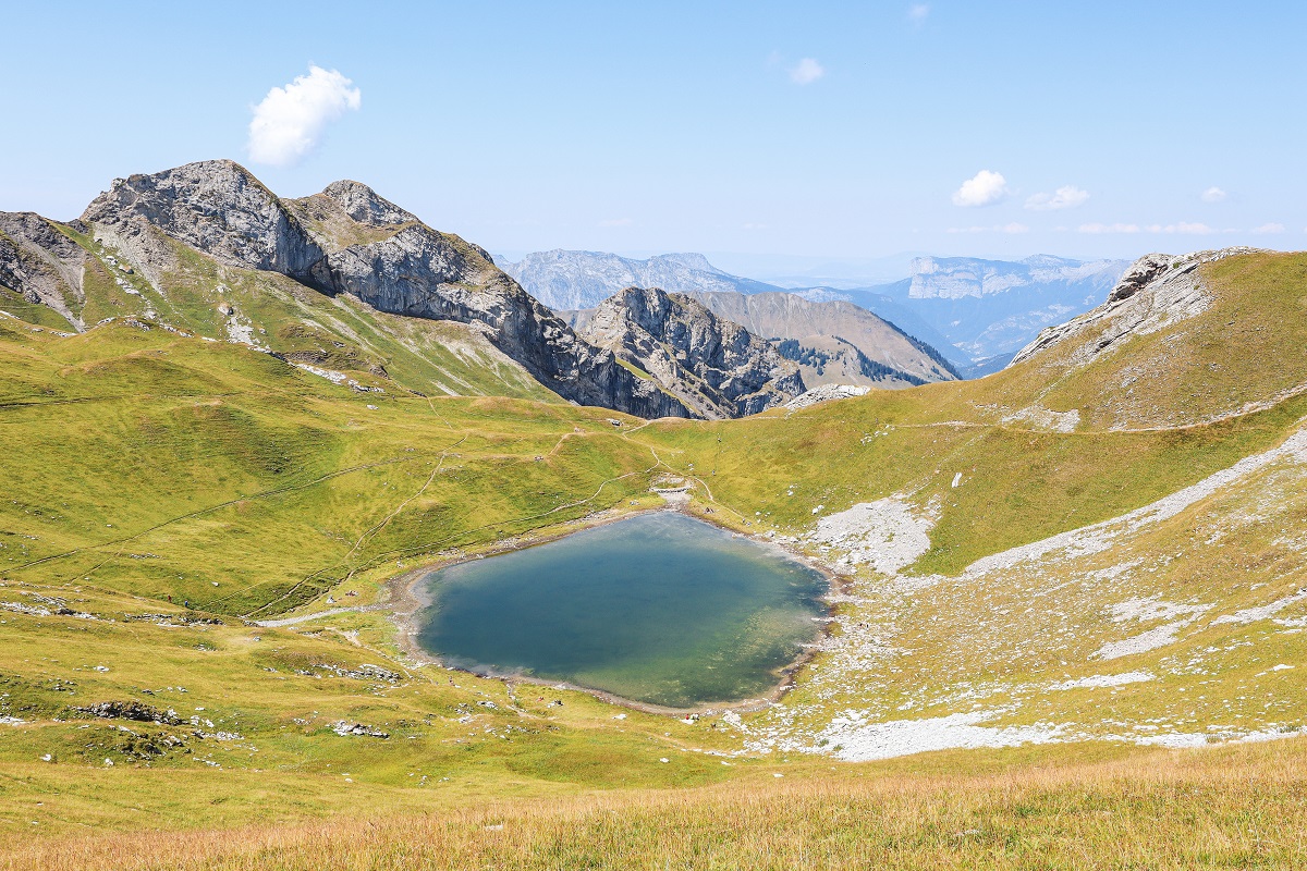
Itinerary for experienced hikers which begins in the undergrowth and continues through the mountain pastures, you will pass the valley of Charvin to arrive at the summit of Mont Charvin via a ridge at an altitude of 2409m with a breathtaking view.
Directions
In detail
- Altitude: 1385 m
- Distance: 14.9 km
- Markup: BALISE
- Positive elevation: 1030 m
- Vertical drop: 1030 m
- Duration: 6h0
- Type of route: GO_RETOUR
- Marking precision: Follow the beige signage signs for the Haute-Savoie department.
- Delicate passages: Steep summit ridge.
- Nature of the terrain: Rock
- Type of land: Earth
- Nature of the terrain: Not suitable for strollers
Equipments & services
Equipment
- Parking
- Free parking
Services
- Pet Friendly
Typology
- Not recommended in bad weather
- Circuits of France_circuits
- Outdoor experiences
- Pastoralism