















Distance: 12 km
Duration: 4h30
Elevation: 500 m
TAG
From 01/06 to 31/10: open every day.
Tips and Suggestions
On sale at the Tourist Office a Tournette-Bornes-Aravis hiking map.
Topo / step by step
1/ From the Col de Plan-Bois, go down the road towards Manigod, then take a horizontal track on the right through meadows that goes directly up to the Plan du Tour via Les Lanches and Bois Noir. 2/ Go back down the track in bends then leave it to follow the itinerary of the "Tournette Aravis" country tour. Pass in front of an alpine farm (Crêt Vermant) and join a wide path that leads to the Pézières farm, then to the Col de la Botte. 3/ Leave the Tour de Pays on your left then turn right, towards the Col de Plan Bois via the Mont Derrière forest, Chez les Gay, Les Rottes and the chapel of La Frasse. 4/ The last part is on the tarmac road that joins the Col de Plan-Bois.
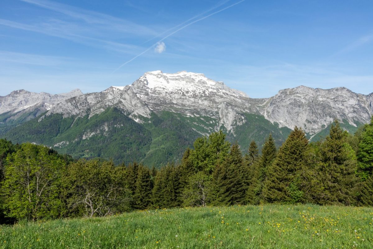
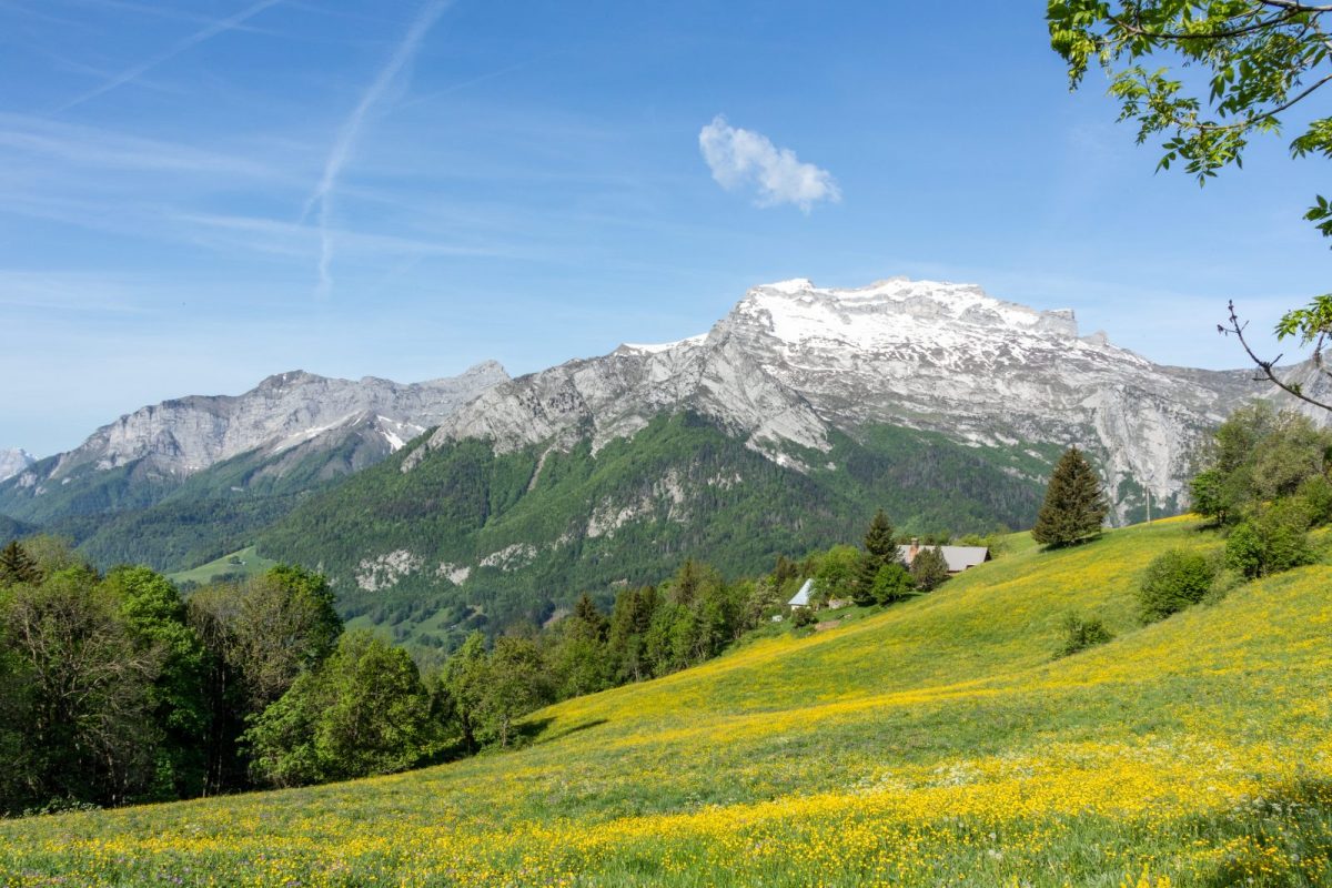
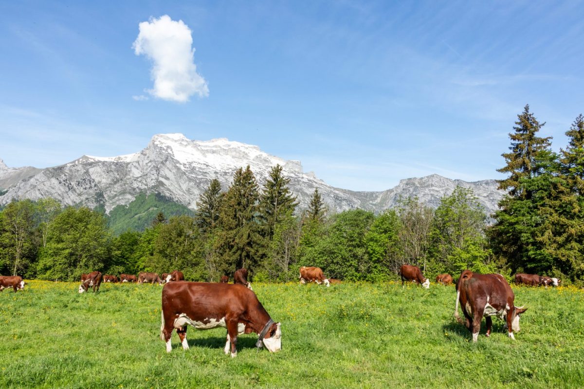
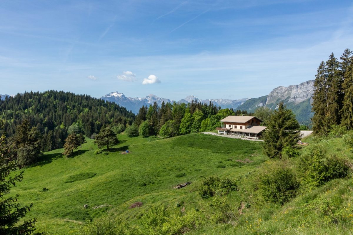
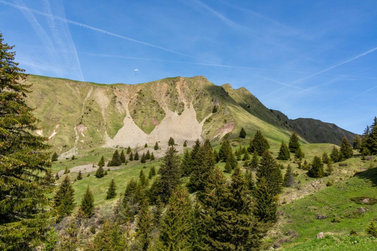
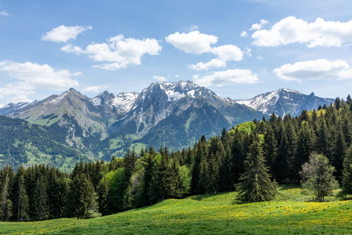
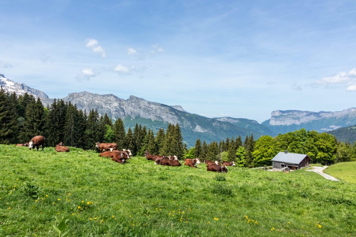
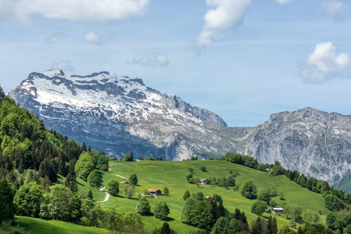
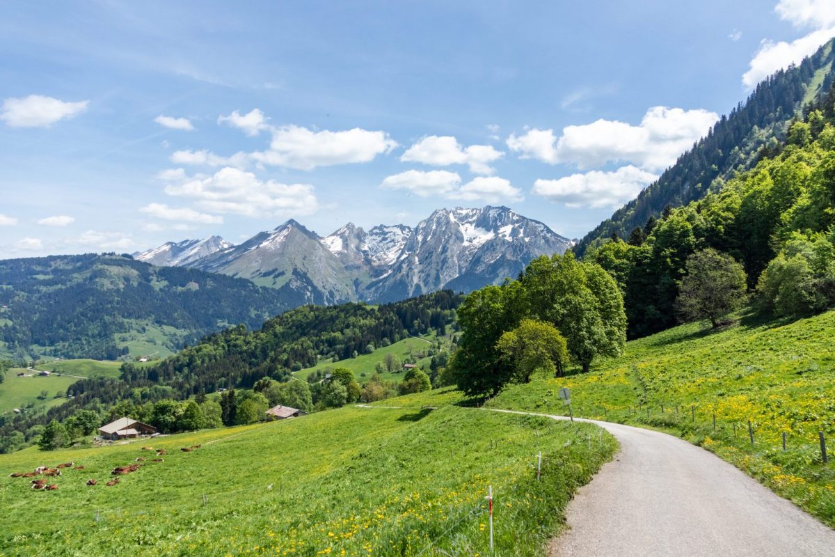
In the heart of the Val Sulens mountain pastures, discover the panoramic environment of the Sulens mountain.
Directions
In detail
- Altitude: 620 m
- Distance: 12 km
- Markup: BALISE
- Positive elevation: 500 m
- Vertical drop: 500 m
- Duration: 4h30
- Route type: LOOP
- Marking precision: The trail is marked with beige signs.
- Nature of the terrain: Not suitable for strollers
Equipments & services
Services
- Pet Friendly
Typology
- Outdoor experiences
- Exceptional view
- Pastoralism