
















Distance: 12.8 km
Duration: 5 hour
Elevation: 370 m
TAG
Accessible tourism
From 01 / 06 to 30 / 09.
Ask the wardens about the opening and closing dates of their refuge located on your route and the current access conditions. Don't forget to book your accommodation before your visit.
Subject to favorable snow and weather conditions.
Subject to favorable weather conditions
Topo / step by step
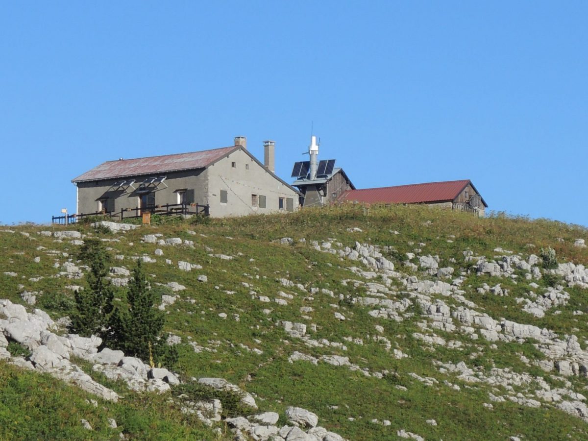
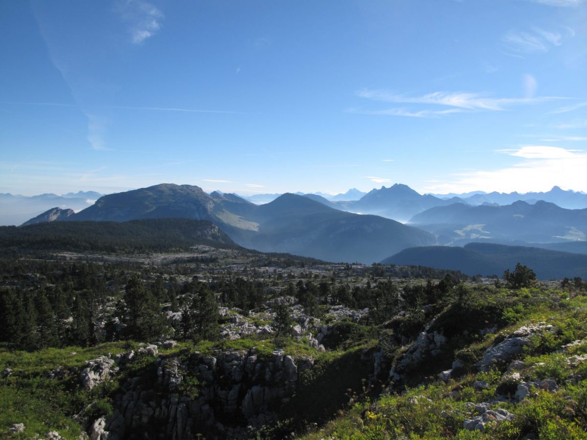
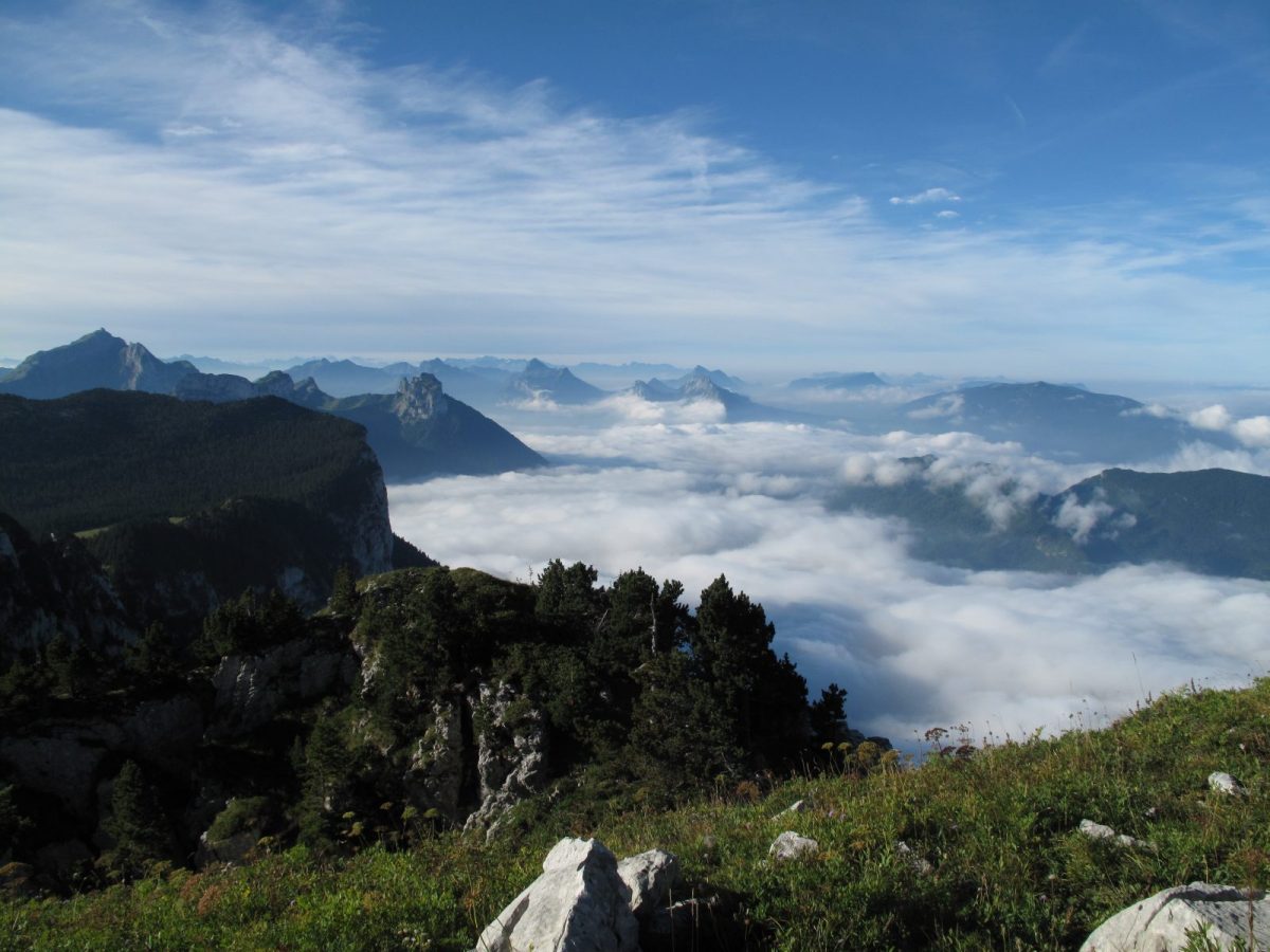
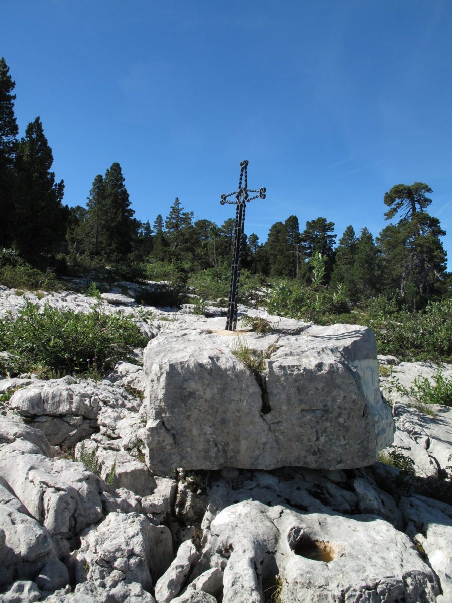
Departure: Refuge du Parmelan 1825 m 1/ The path first goes south-east, towards "Col du Perthuis", along the Parmelan ridges which dominate the Fier valley. The views over this valley, but also to the north over the great "Sea of Rocks", the immense limestone pavement of the Parmelan plateau and Mont Blanc are impressive. After a steep descent, you reach the Col du Pertuis where you join the Captain Anjot path. 2/ Continue towards "Plateau des Glières" by climbing up through the woods and limestone pavements which leads to the Croix du Bénitier then to the Ablon valley via the Freu d'Ablon passage. 3/ From the Ablon chalet, you can either take the carriage road or go via the Chemin de la Barre (the height differences indicated take this latter option into account). You then quickly reach the Plateau des Glières. The times indicated correspond to an arrival at the Maison du Plateau. From there, you reach the National Monument of the Resistance in 0h10. Depending on the accommodation you have chosen, count between 0h30 and 1h00 more. Information: https://www.plateaudesglieres.fr/sejourner-deguster/
A little over 350 m of climbing, around 750 m of descent on the program of this second stage, which is however almost 13 kilometers long. If the differences in altitude are reasonable, the climbs and descents are numerous.
This second stage, starting from the Refuge du Parmelan, will take you directly to the Plateau des Glières, a symbol of a high place of resistance during the Second World War.
Take advantage of this stage to contemplate the landscapes extending before your eyes from the ridges of Parmelan as well as on its lapies which constitute an unusual landscape seeming to extend to infinity.
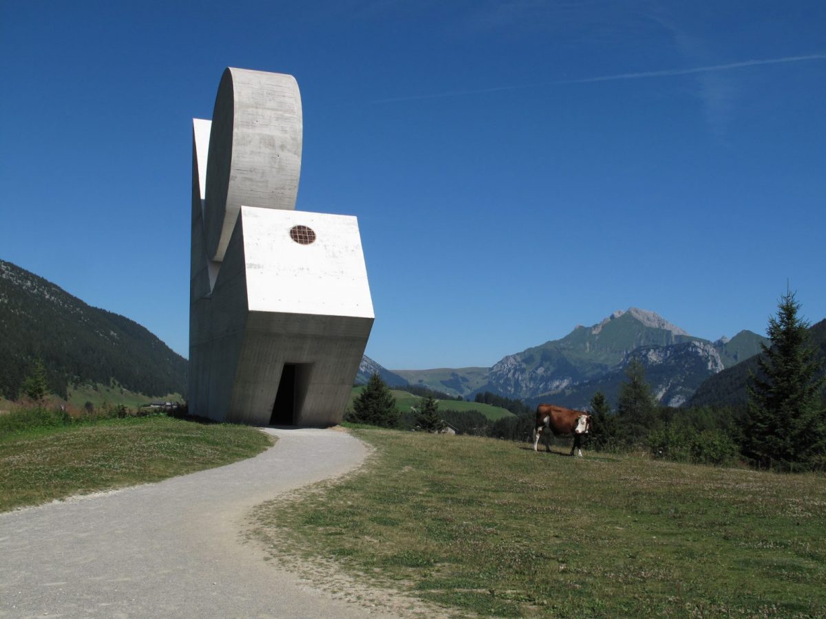
Once you arrive at the Plateau, take the opportunity to visit the National Monument to the Resistance, inaugurated in 1972 by a speech by André Malraux, now listed as a Historic Monument.
Additional Information :
Whatever your hike, remember to take cereal bars, sufficient water, sunglasses, sunscreen, a small first aid kit, as well as clothing suitable for your backpack. your outing depending on the season and the forecast weather.
Directions
In detail
- Altitude: 1825 m
- Distance: 12.8 km
- Markup: BALISE
- Positive elevation: 370 m
- Vertical drop: 750 m
- Duration: 5h0
- Type of route: ALLER_ITINERANCE
- Marking precision: Departmental markings from the Departmental Plan of Walking and Hiking Routes on beige metal panel and green writing.
- Delicate passage: Be careful on the Parmelan limestone pavement
- Nature of the terrain: Not suitable for strollers
Accessibility
- No wheelchair access.
Equipments & services
Typology
- Not recommended in bad weather
- Outdoor experiences
- History
- Exceptional view
Prices
The crossing itself is not paid for, it is the accommodation (gites, refuges, hotels) and the services (accompaniment by a mountain professional). Bivouacking is not permitted outside of reserved locations (see Tourist Offices and/or refuges).
Free access. The crossing itself is not subject to payment, but accommodation (lodges, refuges, hotels) and services (accompaniment by a mountain professional). Bivouacking is not permitted outside of reserved locations (see Tourist Offices and/or refuges).